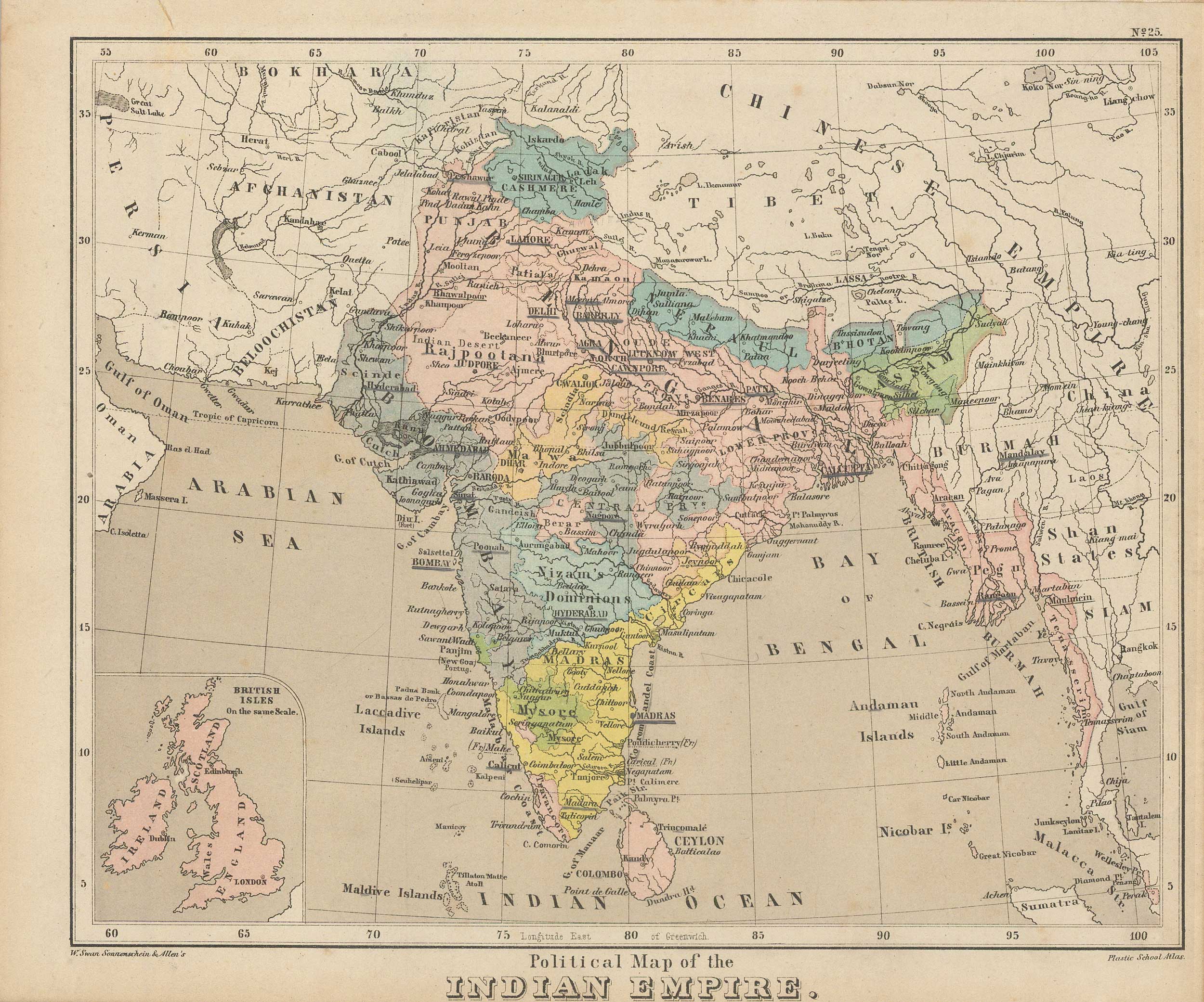
Royal Relief Atlas of All Parts of the World 1885 – Political Map of the Indian Empire
In stock
This political map of England appeared in a scarce atlas “Royal Relief Atlas Of All Parts Of The World” in which the physical relief of an area could be seen, and felt, to show the hills and mountain ranges. An attractive example of nineteenth-century printing experimentation. This political map, however, does not include raised relief.
Size: 8.5 x 10.5 inches
Condition: Good, some foxing and age toning
Map Maker: PHILIPPS BEVAN
Coloring: PRINTED COLOR
Year: 1885
Condition: Good, some foxing and age toning
Map Maker: PHILIPPS BEVAN
Coloring: PRINTED COLOR
Year: 1885
In stock


