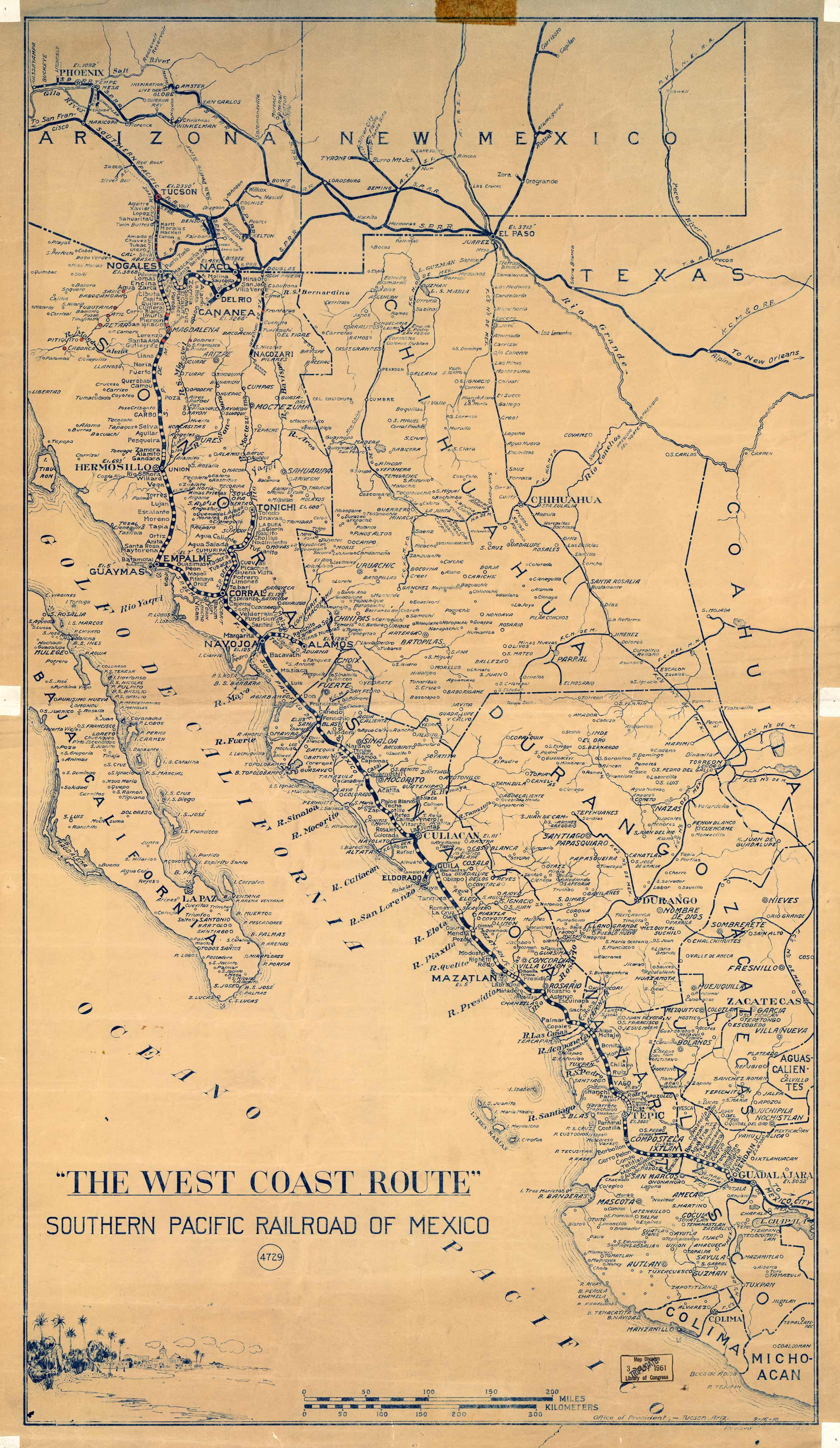
The West Coast Route Southern Pacific Railroad of Mexico
In stock
This unique map of the Southern Pacific Railroad in Mexico, entitled “The West Coast Route”, shows the railway stretching 260 miles from Guadalajara to Nogales, Mexico. Cities and towns, rivers, islands, and each railroad stop is shown on this highly detailed map.
Size: 20 x 35.25 inches
Condition: Good, age toning, folds, stains and tape in margins
Map Maker: Office of President, Tucson, Arizona
Coloring: Printed Color
Year: 1961
Condition: Good, age toning, folds, stains and tape in margins
Map Maker: Office of President, Tucson, Arizona
Coloring: Printed Color
Year: 1961
In stock


