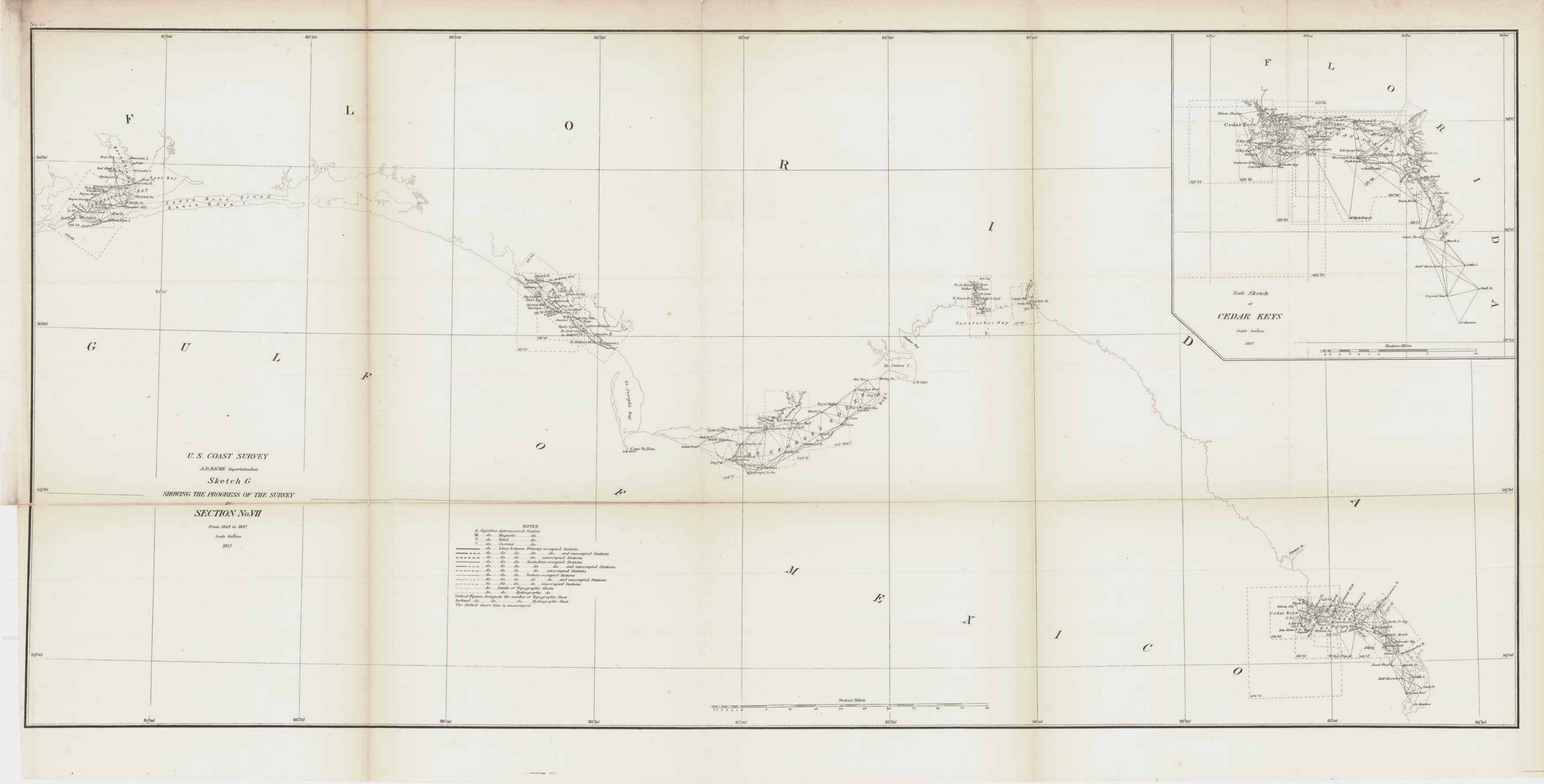
U.S. Coastal Survey Map Showing Pensacola Bay FL, 1857
In stock
This coastal survey of Pensacola Florida, was made in 1857 by the coast survey office. This map features more than just the Pensacola Bay however, as it also features Santa Rosa Sound, St. Andrew’s Bay, St. Joseph’s Bay, St. George’s Sound, Appalachee Bay, and Cedar Keys. There is also an inset of a sub sketch Cedar Keys that helps to better see and identify major points around the Cedar Keys. Additionally shown is the Gulf of Mexico and the Florida mainland coast.
Size: 31.75 x 15 inches
Condition: Good- light age toning
Map Maker: Coast Survey Office
Coloring: Black & White
Year: 1857
Condition: Good- light age toning
Map Maker: Coast Survey Office
Coloring: Black & White
Year: 1857
In stock


