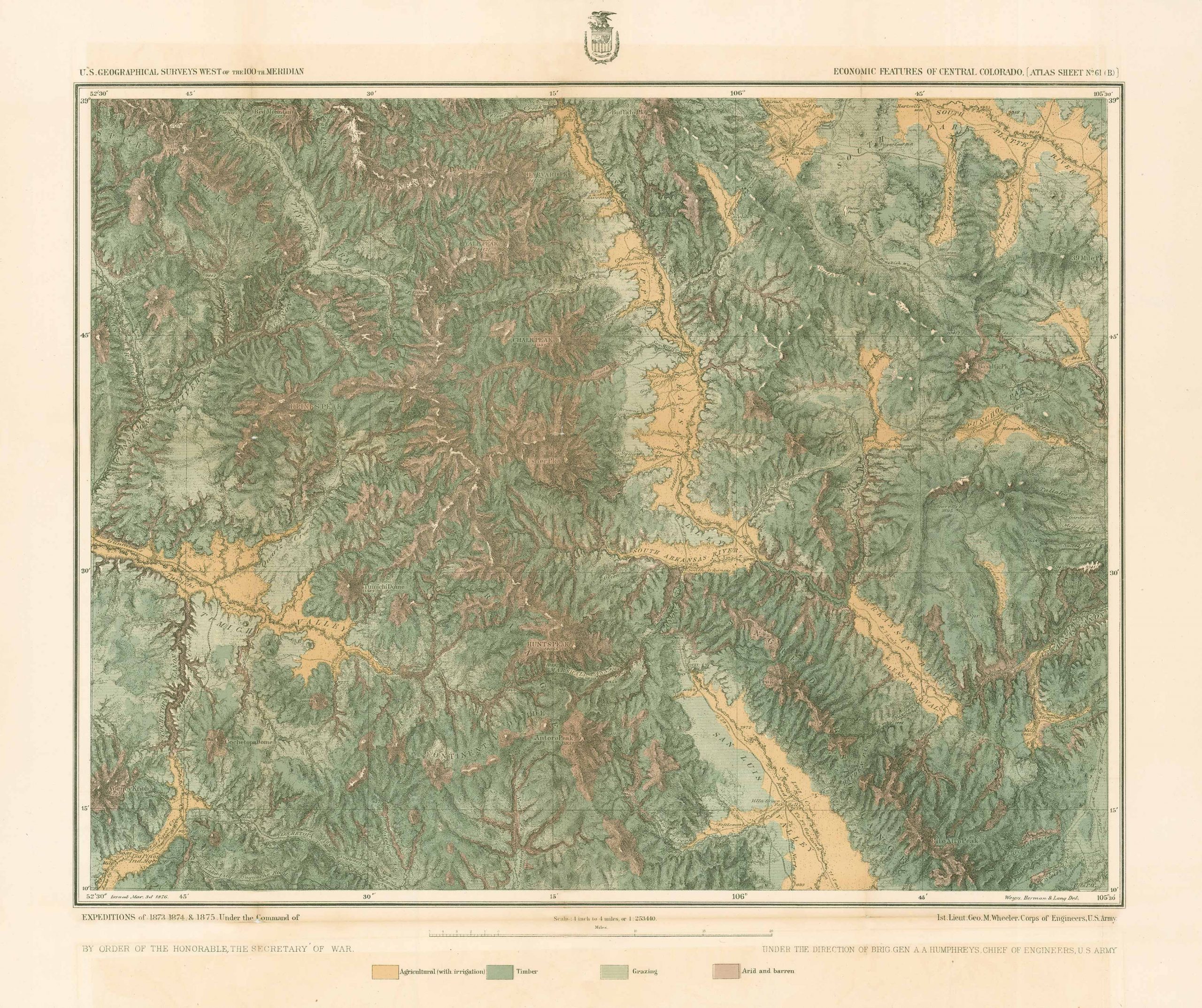
Economical Features of Central Colorado, George M. Wheeler, 1873-1875
Out of stock
This detailed map of Central Colorado was created in 1873-1875 by George Wheeler in his U.S. Geographical Surveys West of the One Hundredth Meridian. This map shows a portion of south, central Colorado. It goes from the South Platte River to Gunnison area. The map is labeled Economic Features of Central Colorado.
Size: 19 x 18 inches
Map Maker: George Wheeler
Coloring: Printed Color
Year: circa 1873
Map Maker: George Wheeler
Coloring: Printed Color
Year: circa 1873
Out of stock


