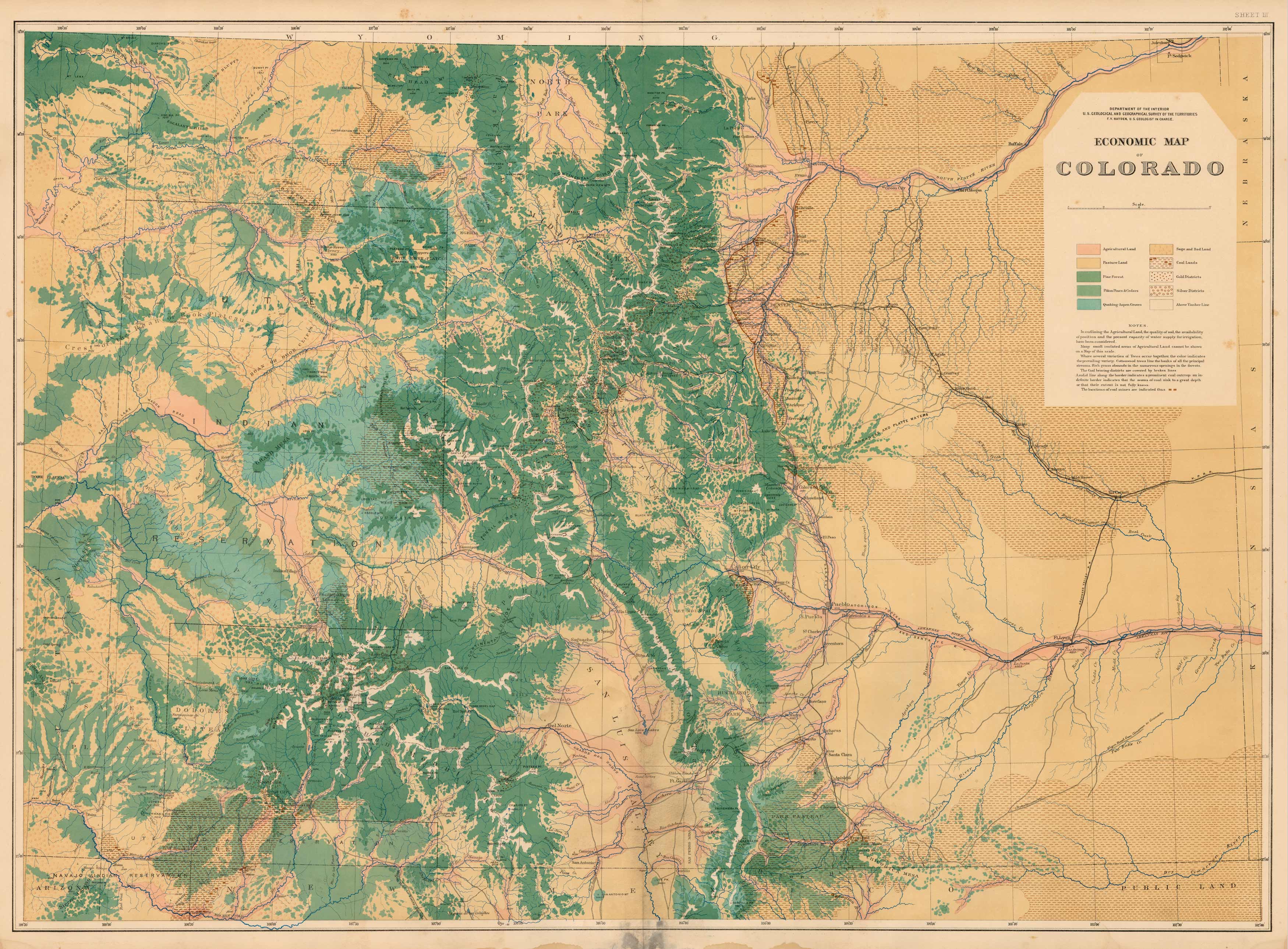
Sheet III – Economic Map of Colorado
Out of stock
In 1869 Hayden was given a large appropriation and made head of the “United States Geological Survey of the Territories.” The biggest and best-known of the Great Surveys. Hayden was a good theoretical geologist but his eye was on practical. The purpose of his expeditions to the Rocky Mountains was to find coal and other minerals; consequently he was always well supported by Congress as well as local western interests. In addition to his interest in western minerals, Hayden was also one of the first to see the West as the land of the nature-loving tourist. In 1871 Hayden made an expedition into the Yellowstone Geyser Region resulting in spectacular photographs taken by William H. Jackson. The Yellowstone expedition made Hayden famous, but perhaps his most important was the detailed exploration and mapping of Colorado. Here his teams worked through some of the most rugged country in the West to complete the masterful Atlas of Colorado. This map of Central Colorado is from Haydens Geological and Geographical Atlas of Colorado and Portions of Adjacent Territory, published in 1877. Cities, towns, topographical features, rail roads and proposed rail roads are illustrated. A fantastic map with fine detailing. In excellent condition.
Condition: Good - light foxing, water staining esp. in lower portions of map
Map Maker: F.V. Hayden
Coloring: Printed Color
Year: 1877
Out of stock


