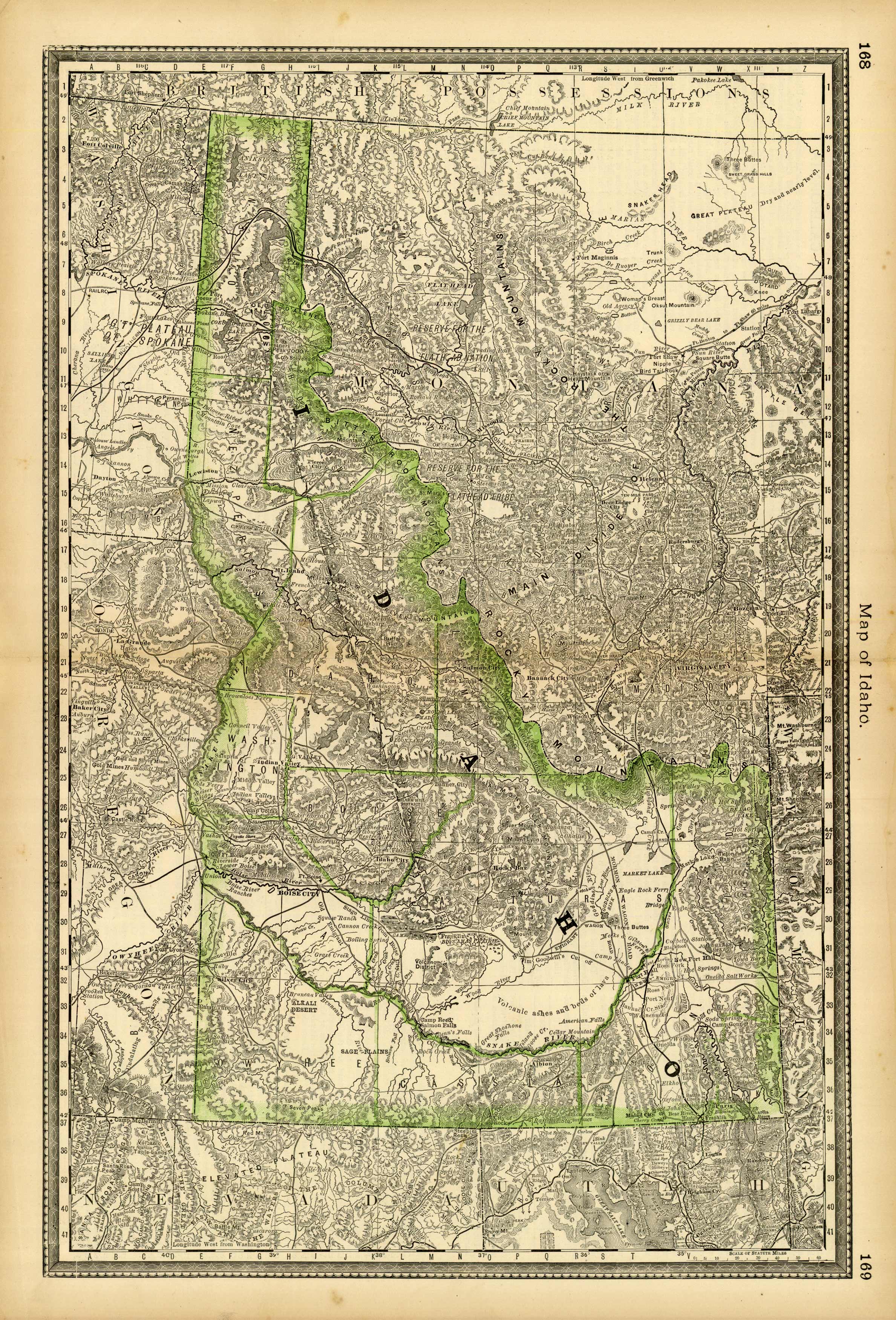
Idaho
In stock
This antique map originally appeared in the “Historical Hand-Atlas” produced in 1882 by H.H. Hardesty & Co. These maps show many details including cities and towns, lakes and rivers, and most important the existing railroad network.
Size: 14 x 20 inches
Condition: Very Good - age toning - light foxing - slight staining on margins
Map Maker: H.H. Hardesty & Co.
Coloring: Lithographic Coloring
Year: 1882
Condition: Very Good - age toning - light foxing - slight staining on margins
Map Maker: H.H. Hardesty & Co.
Coloring: Lithographic Coloring
Year: 1882
In stock


