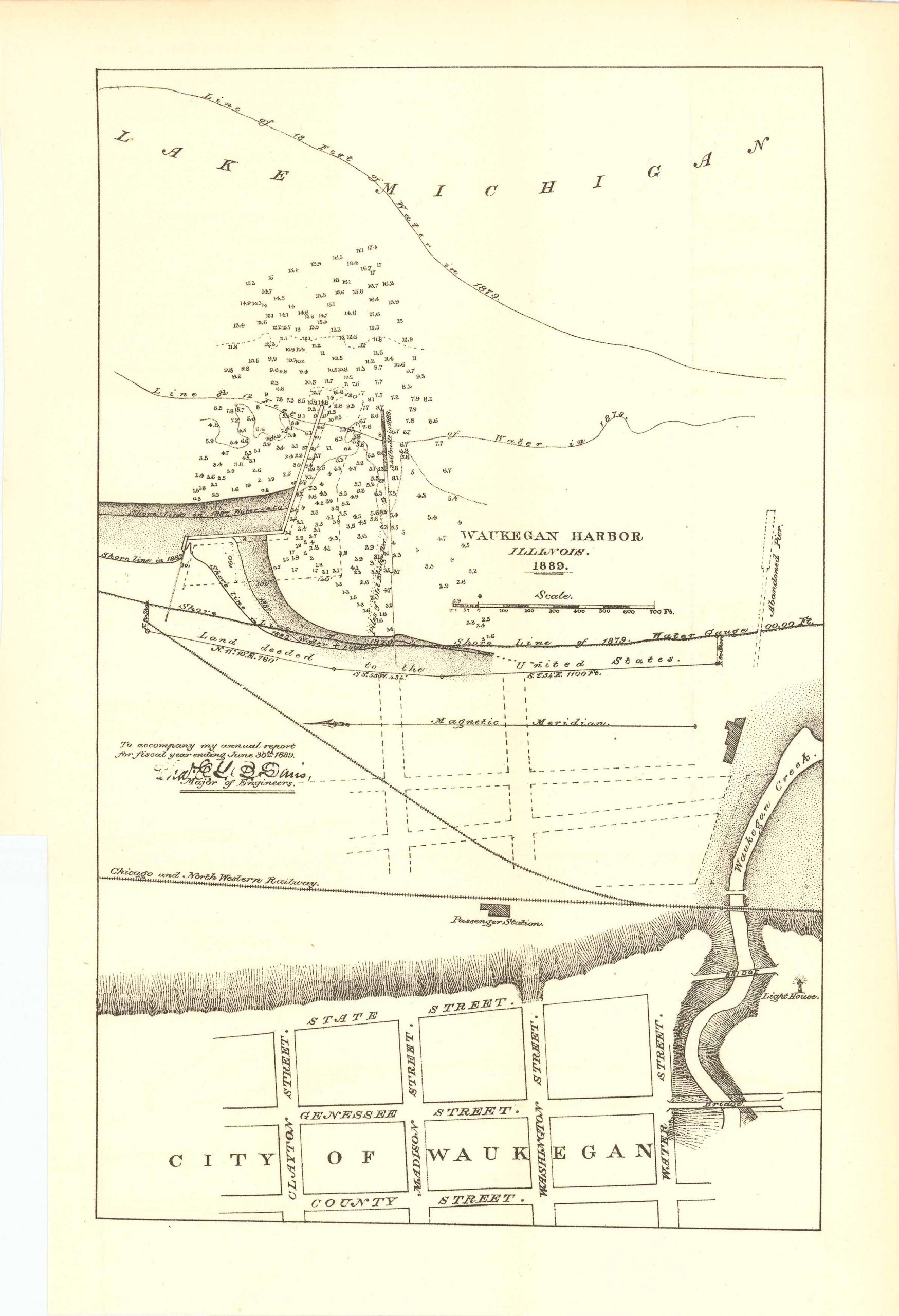
Map of Waukegan Harbor, Illinois 1889
In stock
This interesting map of Waukegan Harbor, Illinois was printed in 1889 to accompany the annual report for fiscal year ending June 30th, 1889 and drawn up by the Major of Engineers. This map features: The City of Waukegan, Waukegan Harbor, Lake Michigan, Shore Lines, Soundings, Magnetic Meridian Line, Waukegan Creek, the Chicago and Northwestern Railway, and showcases the main streets within the city of Waukegan. This map is in very good condition with only some slight age toning. Bottom half of the right side margin has been cut off (refer to photo).
Size: 7.25 x 11.5 inches
Condition: Very good
Map Maker: U.S. Corps of Engineers
Original Production Year: 1889
Coloring: Black & White
Year: 1889
Condition: Very good
Map Maker: U.S. Corps of Engineers
Original Production Year: 1889
Coloring: Black & White
Year: 1889
In stock


