Indiana
In stock
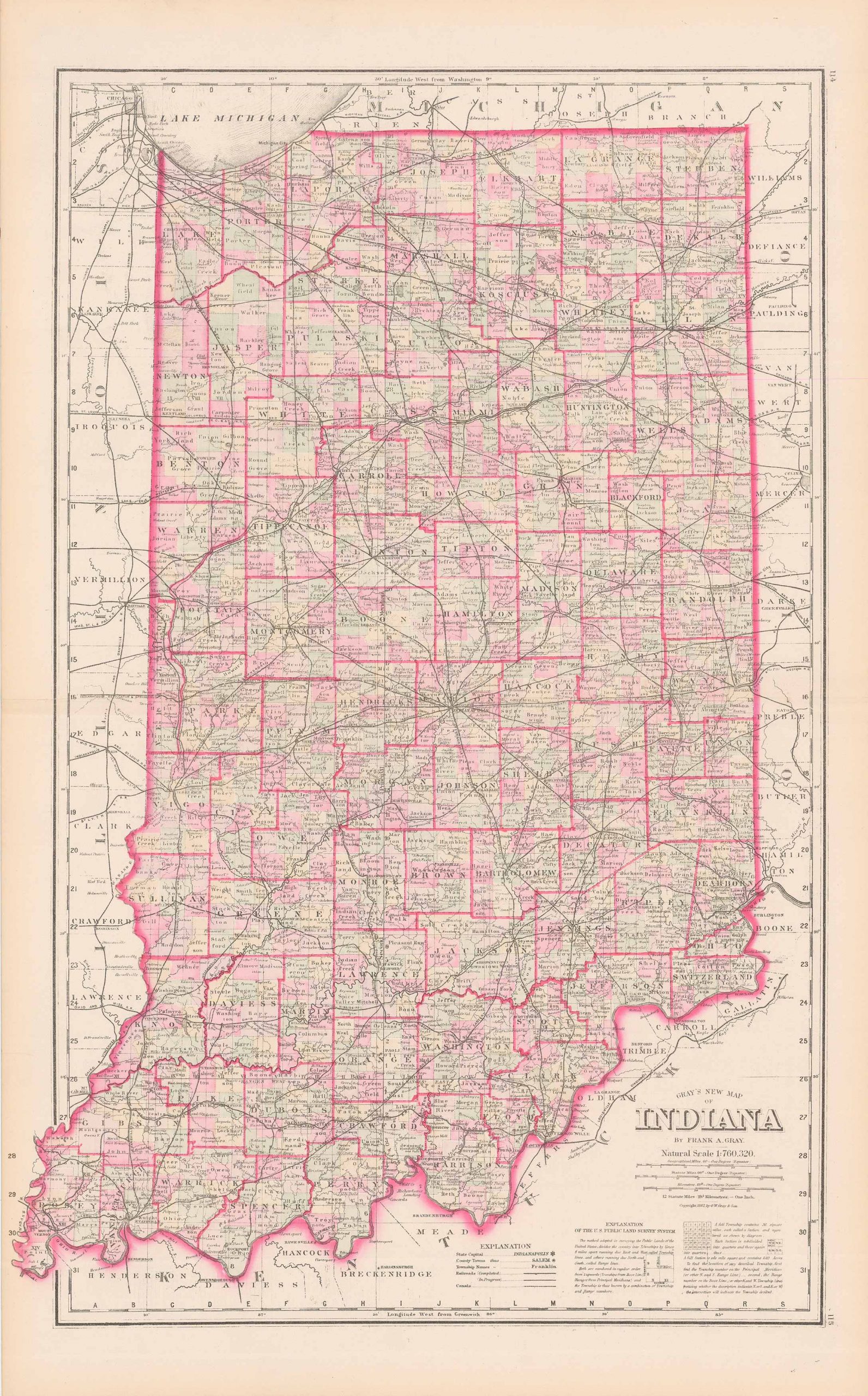
This antique map of Indiana was produced by O.W. Gray as part of his “National Atlas” in 1884. Gray was involved in the production of Atlas’ from ca. 1871 – 1886. We love his maps because of the wonderful hand coloring and attention to detail.
Size: 14.75 x 23.25 inches
Condition: Very Good
Map Maker: O.W. GRAY
Original Production Year: 1884
Coloring: Hand Colored
Year: 1884
Condition: Very Good
Map Maker: O.W. GRAY
Original Production Year: 1884
Coloring: Hand Colored
Year: 1884
In stock


