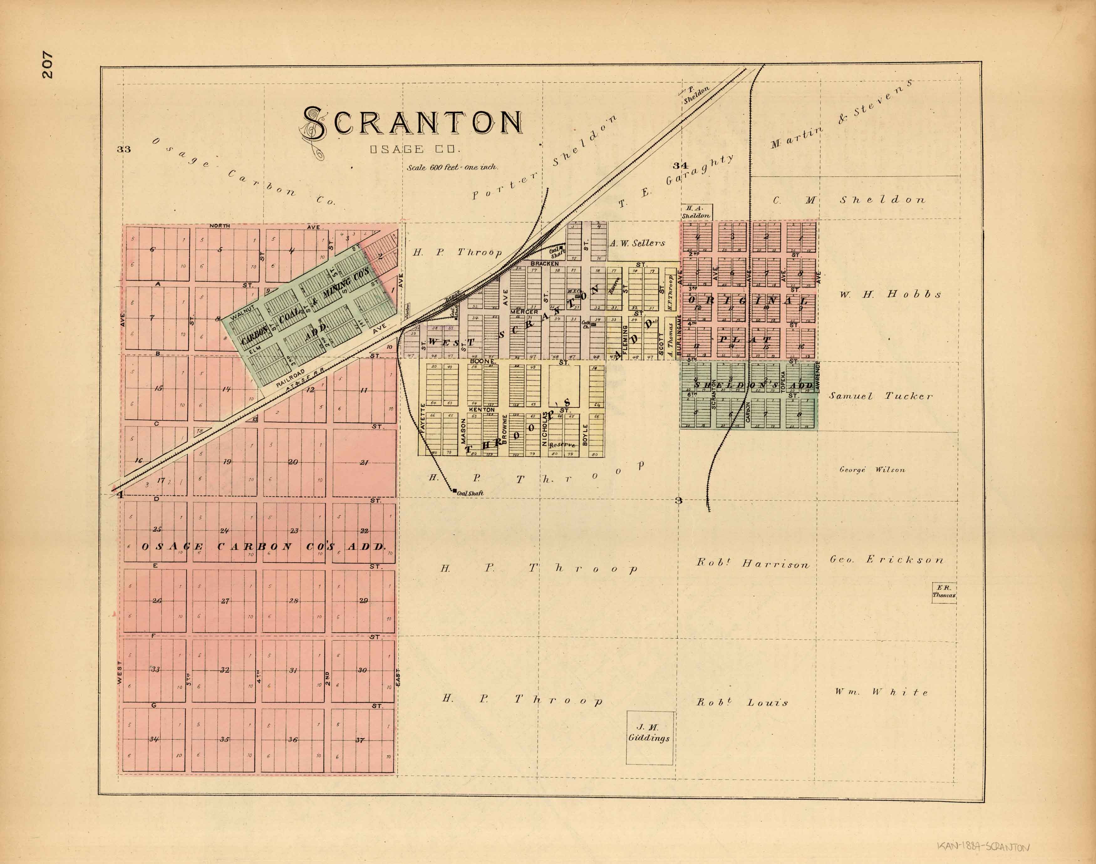
L.H. Evert’s 1887 Map of Scranton, Kansas
In stock
We are very excited to offer you this original map of Scranton, Kansas. This map was issued as part of L.H. Evert’s & Co “Official State Atlas of Kansas” and shows schools, important buildings, churches, post offices, railroads, wagon roads, and ranches. This was the first official state atlas of Kansas. Without a doubt, this atlas is one of the rarest and largest state atlases ever produced in the United States with over 340 pages of maps and views. Until now I have only had a handful of these wonderful maps in over 40 years of selling old maps.
Size: 17.5 x 14.5 inches
Condition: Good - some foxing and bent/ripped corners
Map Maker: L.H. Everts & Co.
Coloring: Original Hand Color
Year: 1887
Condition: Good - some foxing and bent/ripped corners
Map Maker: L.H. Everts & Co.
Coloring: Original Hand Color
Year: 1887
In stock


