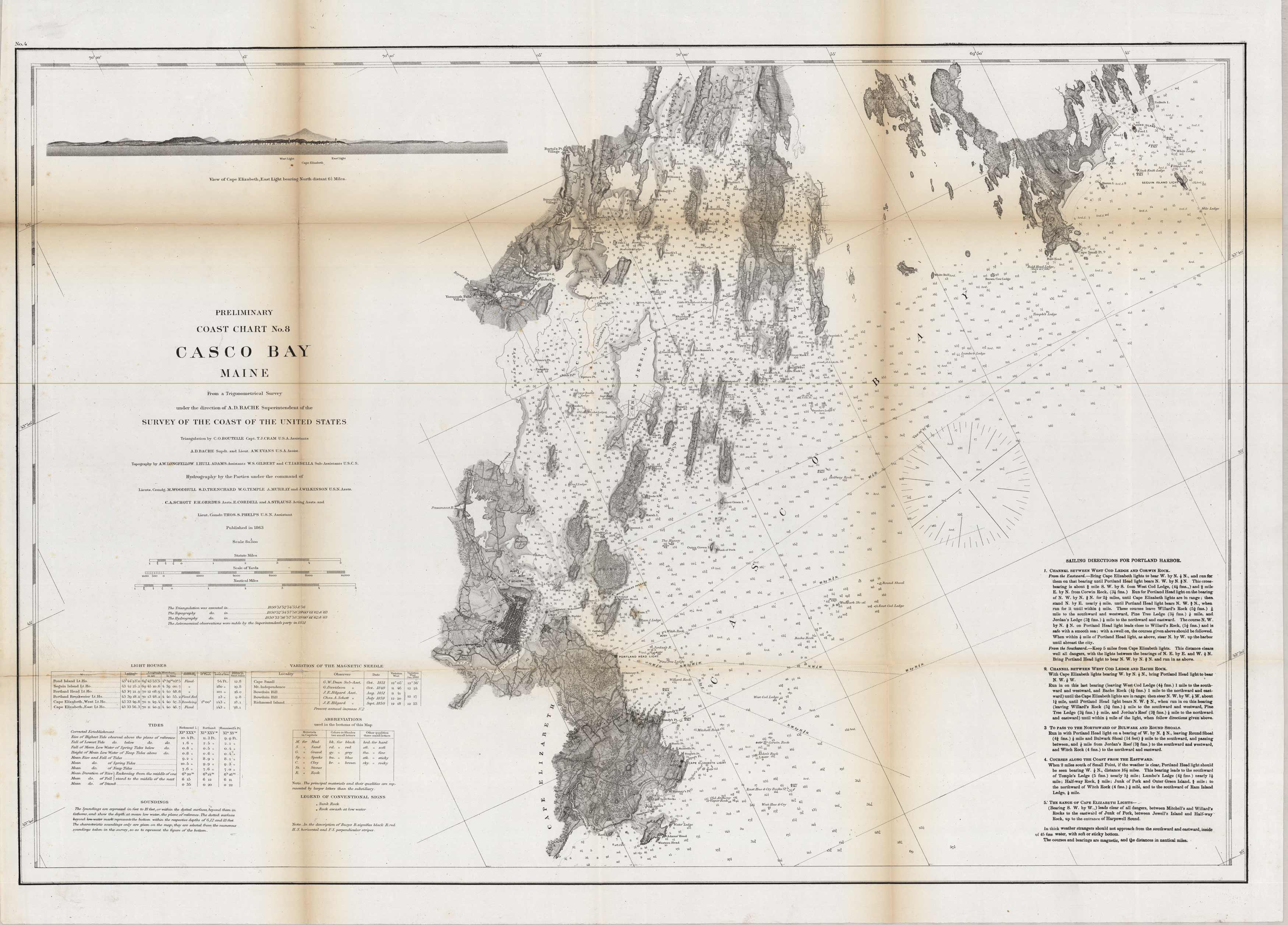
Survey of Casco Bay, Maine
In stock
This map is of the 1863 government coastal survey of Casco Bay in Maine. Islands and important cities are labled, and a broad plan of the surrounding land is shown. Depth readings and buoies are identified. An illustration of Cape Elizabeth and the lighthouse is in the top left corner.
Size: 29.75 x 21 inches
Condition: Good - minor age toning at folds
Map Maker: US Coast Survey Office
Coloring: Black and White
Year: 1863
Condition: Good - minor age toning at folds
Map Maker: US Coast Survey Office
Coloring: Black and White
Year: 1863
In stock


