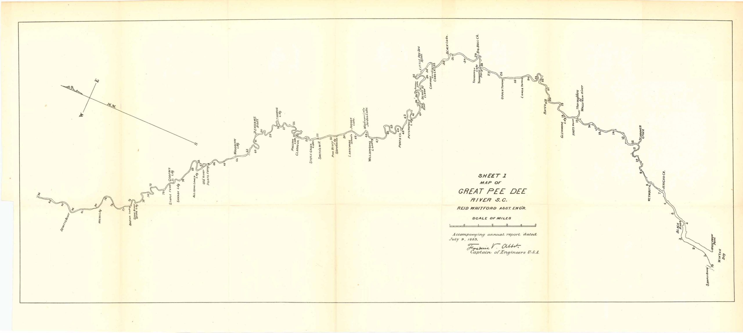
Map of Great Pee Dee River, South Carolina 1889
Out of stock
This is a Map of Great Pee Dee River, South Carolina. With assistant engineer Reid Whitford accompanying the annual report dated July 9, 1889, and published by Frederick R. Abbot Captain of Engineers, U.S.A. This interesting river map showcases the Great Pee Dee River, but also comes with various points throughout the river such as: Williamsons Landing, Denhams Bluff, Little Pee Dee River, Upper Topsau, Bates Hill, Hasty Point, Schooner Creek, among others.
Size: 29.75 x 11.5 inches
Condition: Very good
Map Maker: U.S. Corps of Engineers
Original Production Year: 1889
Coloring: Black & White
Year: 1889
Condition: Very good
Map Maker: U.S. Corps of Engineers
Original Production Year: 1889
Coloring: Black & White
Year: 1889
Out of stock


