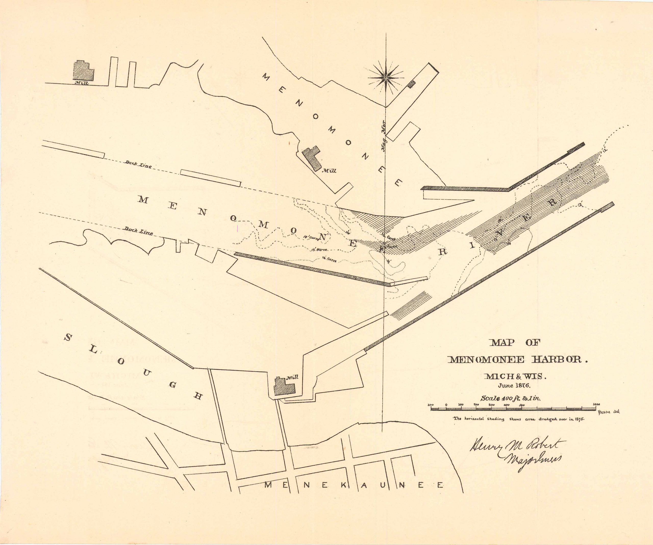
Map of Menomonee Harbor, Michigan and Wisconsin 1876
In stock
Map of Menomonee Harbor, Michigan and Wisconsin, drawn up in June of 1876. This simple map features Menomonee, the Menomonee River, Slough, and Menekaunee.
Size: 10.75 x 9 inches
Condition: Very good
Map Maker: U.S. Corps of Engineers
Original Production Year: 1876
Coloring: Black & White
Year: 1876
Condition: Very good
Map Maker: U.S. Corps of Engineers
Original Production Year: 1876
Coloring: Black & White
Year: 1876
In stock


