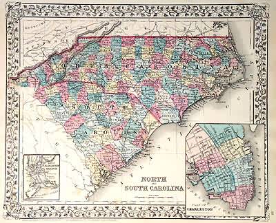
North and South Carolina
In stock
This map came from Mitchells New General Atlas, 1881. The traditional ivy border, and hand coloring make this map beautiful. This US State map shows transportation routes, rivers, towns, and topography features. Very Detailed! Includes inset maps of Charleston Harbor and the city of Charleston.
Size: 14 x 11.5 inches
Condition: Very Good
Map Maker: S. Augustus Mitchell
Coloring: Original Hand Color
Year: 1881
Condition: Very Good
Map Maker: S. Augustus Mitchell
Coloring: Original Hand Color
Year: 1881
In stock


