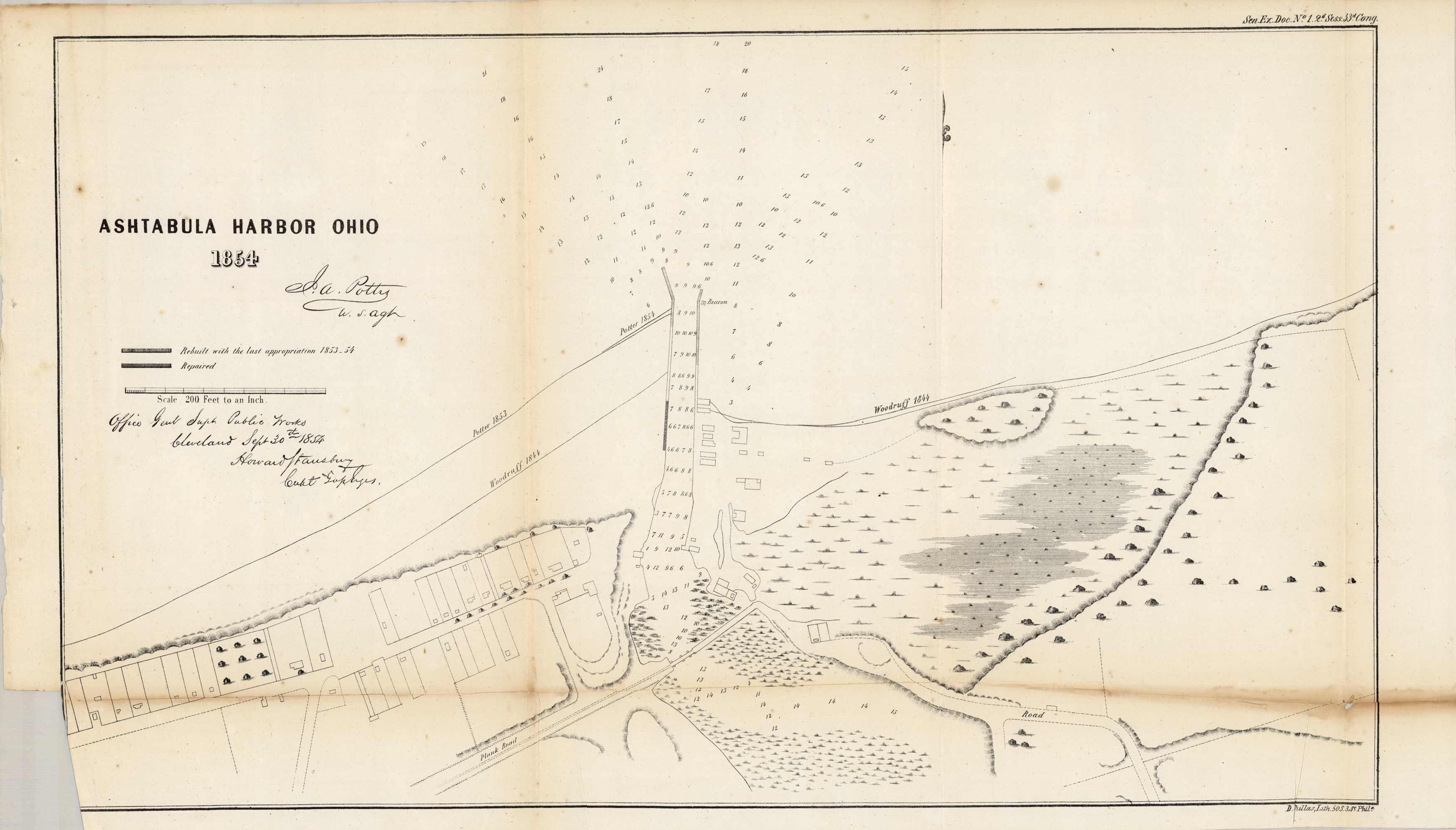
Ashtabula Harbor, Ohio, 1854
In stock
This is a vintage, engraved map of Ashtabula Harbor, a port city in northern Ohio on Lake Erie. It shows a detailed view of the harbor, roads, channels with depth readings, the extent of the breakwater, location of navigational beacons, building locations, and signed by Howard Stansbury of the Office of Public Works and dated September 30, 1854. The key indicates what has been rebuilt with the last appropriation 1853-54, and what has been repaired.
Size: 20 x 12.5 inches
Condition: Very Good, minor age toning, foxing. Small section tore off on bottom left corner.
Map Maker: US Government, Office of Superintendent of Public Works
Coloring: Black and White
Year: 1854
Condition: Very Good, minor age toning, foxing. Small section tore off on bottom left corner.
Map Maker: US Government, Office of Superintendent of Public Works
Coloring: Black and White
Year: 1854
In stock


