Pennsylvania
In stock
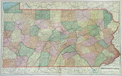
This map was made by George F. Cram for “Crams Modern Atlas” in 1905. In 1869 the George F. Cram Company was born and the Cram name quickly became synonymous with accuracy and innovation. This is a map of Pennsylvania, counties, cities, towns, major transportation routes, rivers, lakes and other topographical features are illustrated.
Size: 20 x 13 inches
Condition: Very Good
Map Maker: George F. Cram
Coloring: Printed Color
Year: 1905
Condition: Very Good
Map Maker: George F. Cram
Coloring: Printed Color
Year: 1905
In stock


