Civil War Atlas; Plate 65; Coast of Texas; Bermuda Hundred
In stock
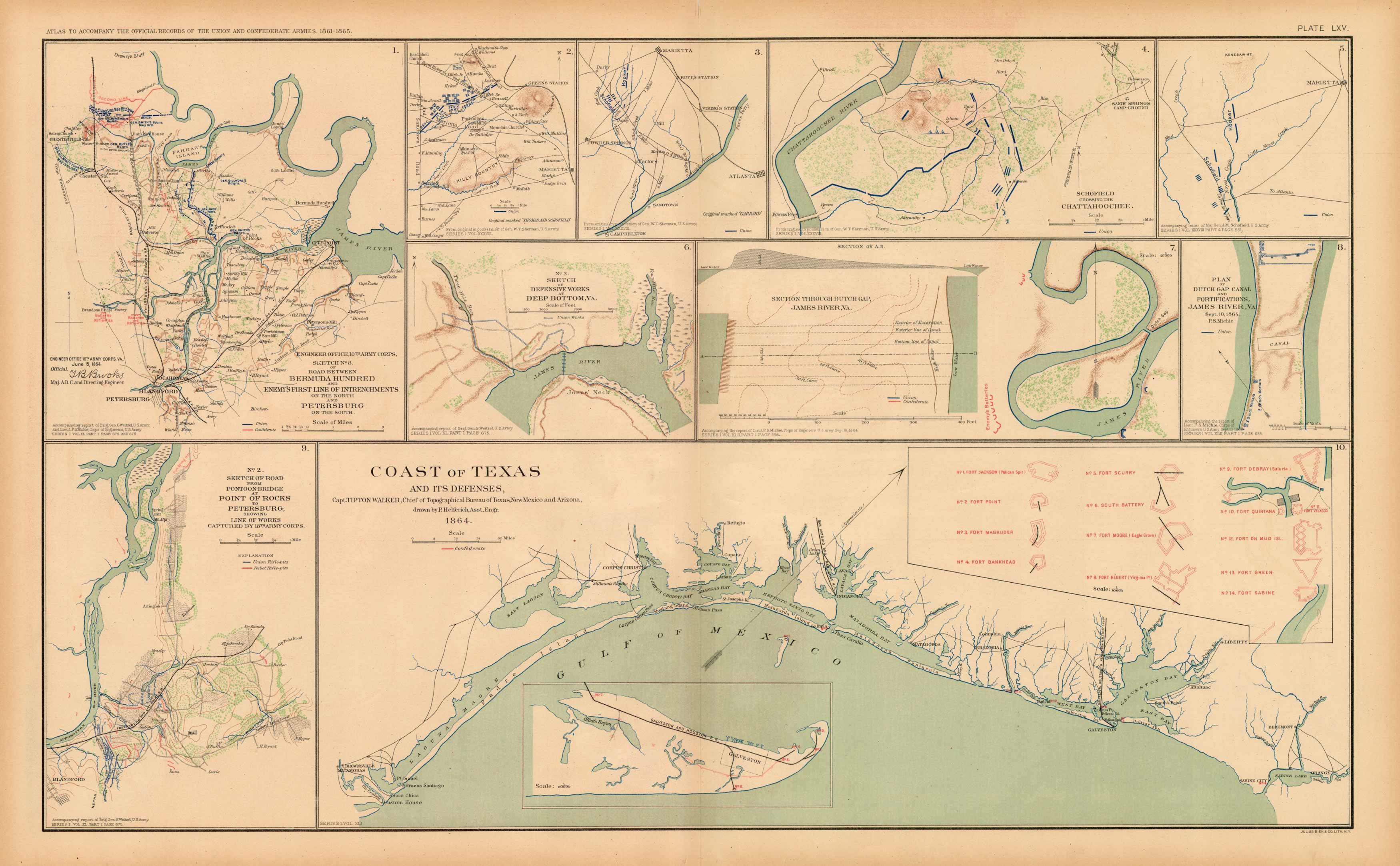
This plate came from The Atlas to Accompany the Official Records of the Union and Confederate Armies. The Atlas was published between 1891 and 1895 and is the definitive source of Civil War information available. This Plate contains the following map(s). Plate LXV1. Engineer Office 10th Army Corps Sketch 8 Road Between Bermuda Hundred and Enemys First Line of Entrenchment’s on the North and Petersburg2. Greens Station3. Marietta, Atlanta and Campbellton4. Schofield Crossing the Chattahoochee5. Marietta6. No.3 Sketch of Defensive Works and Deep Bottom, VA.7. Dutch Gap, James River, VA.8. Plan of Dutch Gap Canal and Fortifications James River, VA.9. No.2 Road from Pontoon-Bridge at Point of Rocks to Petersburg, Line of Works 18th Army Corps10. Coast of Texas and its Defenses’
Condition: Very Good
Map Maker: U.S. War Records Office
Coloring: Lithograph Color
Year: 1893
In stock


