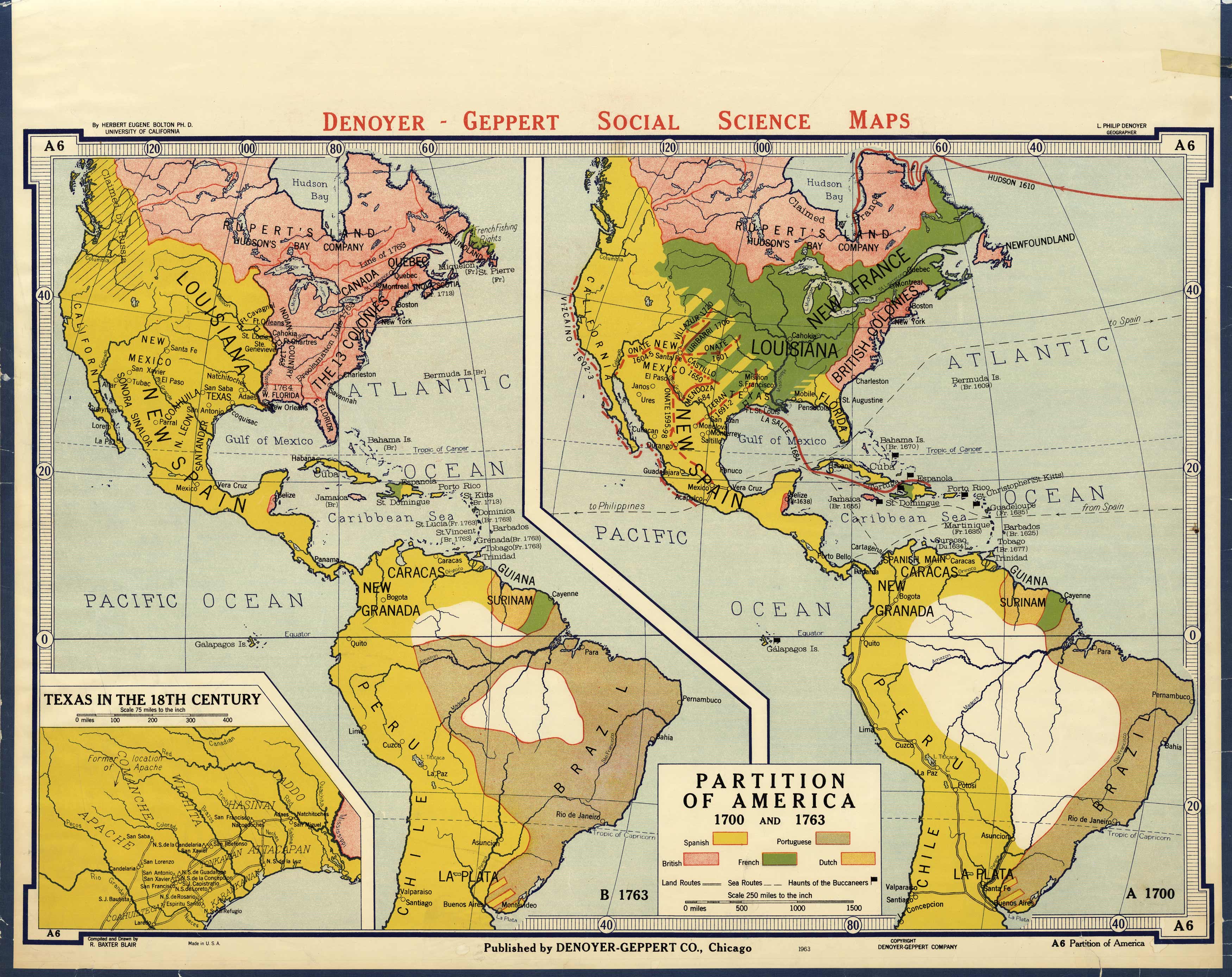
Partition of America 1700 AND 1763, Texas in the 18th Century
Out of stock
This large wall map is a great educational map published by Denoyer-Geppert for its Social Science Maps collection in 1963. Brightly colored and easy to read, this map is divided into two maps of the partition of America in 1700 and 1763. The colored sections shows the Spanish, Portuguese, British, French and Dutch possessions. Details include land and sea routes, and haunts of the Buccaneers.
Size: 41.5 x 30 inches
Condition: Good, tears along edges, archivally repaired tears with tape, some paper loss and light stains
Map Maker: Denoyer-Gepper Company
Coloring: Printed Color
Year: 1963
Condition: Good, tears along edges, archivally repaired tears with tape, some paper loss and light stains
Map Maker: Denoyer-Gepper Company
Coloring: Printed Color
Year: 1963
Out of stock


