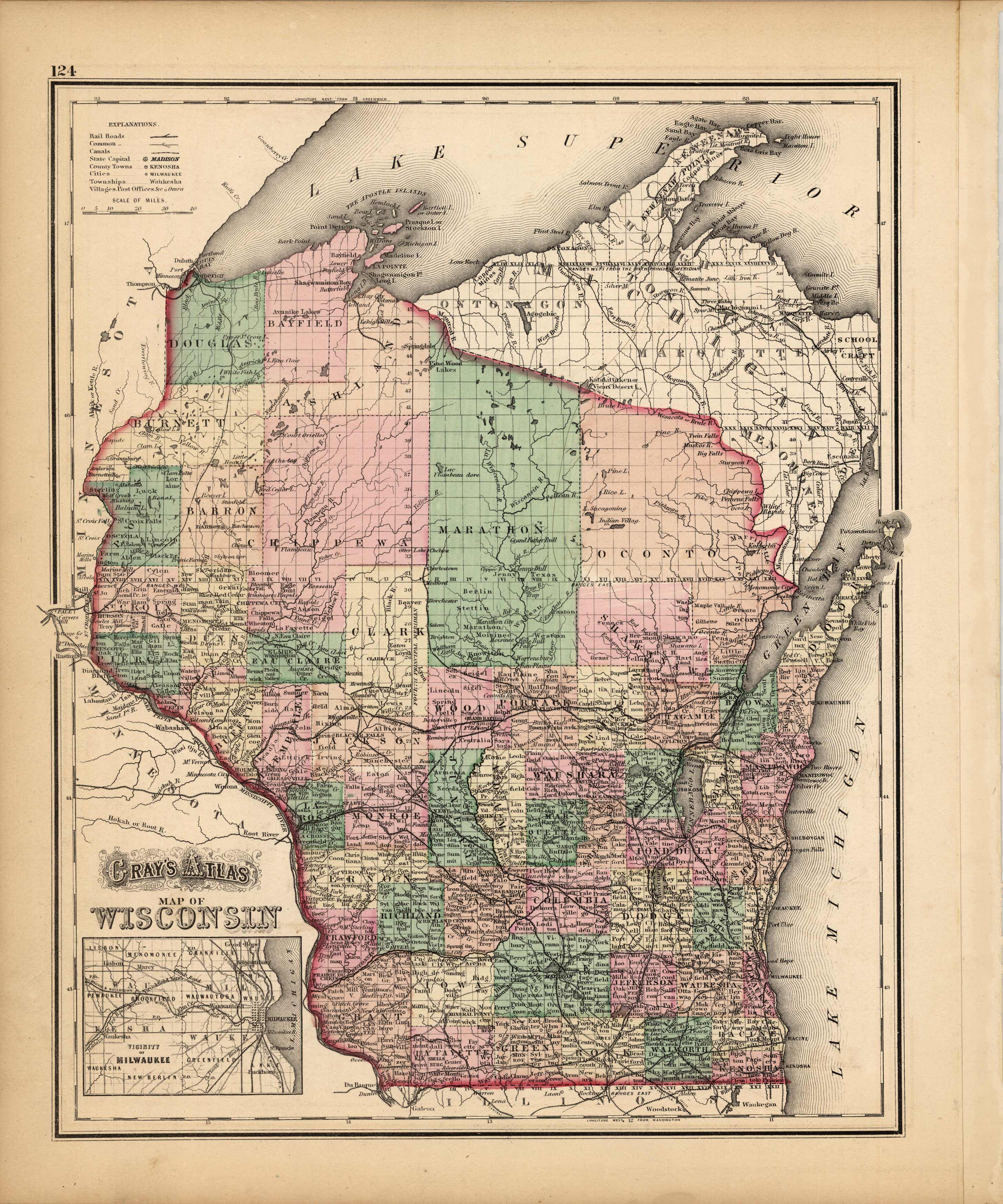
Grays Atlas Map of Wisconsin’
In stock
Made for the 1873 “Grays Atlas of the United States with General Maps of the World ” by O.W. Gray, a Civil and Topographical Engineer. Bright pastel hand coloring, fine detailing and simple lined border complete the maps within this atlas. Counties, cities, railroads, common roads, canals, creeks, rivers and an inset map of the vicinity of Milwaukee are illustrated. This map of Wisconsin includes a small inset map of the vicinity of Milwaukee.
Size: 12 x 14 inches
Condition: Very Good
Map Maker: O.W Gray
Coloring: Original hand Coloring
Year: 1873
Condition: Very Good
Map Maker: O.W Gray
Coloring: Original hand Coloring
Year: 1873
In stock


