West Indies
In stock
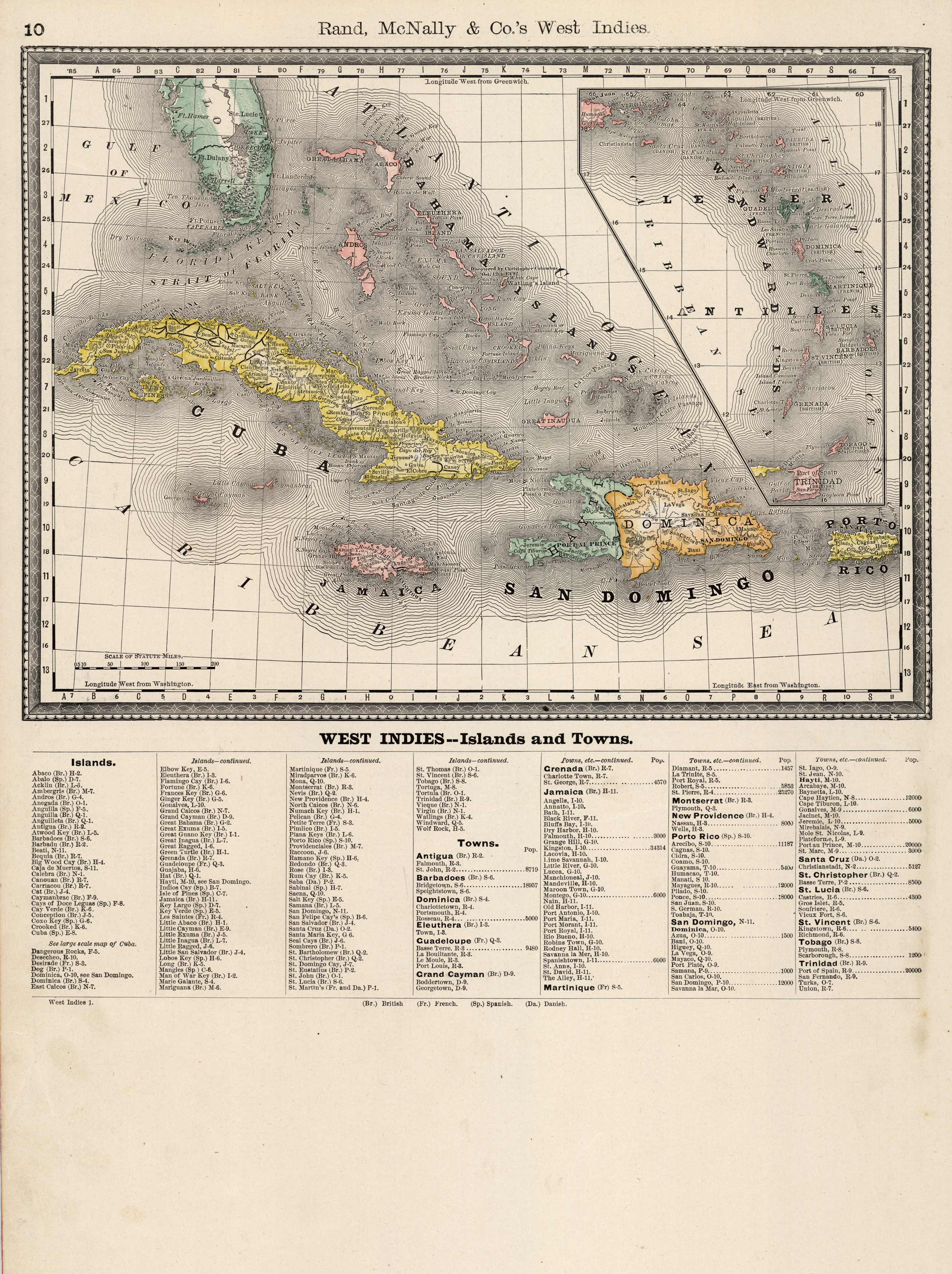
This map of the West Indies was issued by Rand McNally & Co. as part of the Business Atlas and Shippers Guide in 1890. The Rand McNally Company was the premiere mapmaker in the business and shipping map arena. This highly detailed map includes a legend below that lists islands and towns in the West Indies.
Size: 12.75 x 13.75 inches
Condition: Very Good
Map Maker: Rand McNally & Co.
Coloring: Printed Color
Year: 1890
Condition: Very Good
Map Maker: Rand McNally & Co.
Coloring: Printed Color
Year: 1890
In stock


