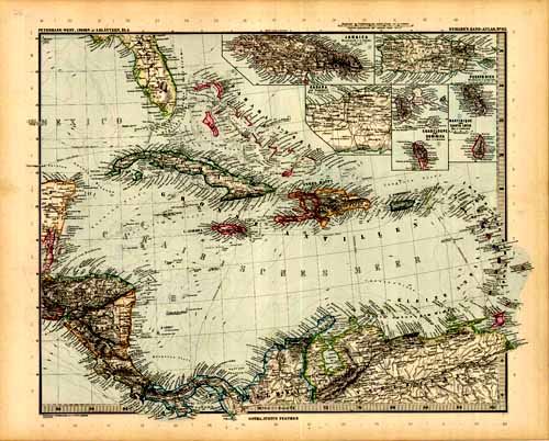
West Indies with inset maps of Jamaica Puerto Rico, Habana, Guadaloupe and Dominica, Martinique and Santa Lucia
In stock
Adolf Stieler produced this exceptional map in 1896. This map of the West Indies is highlighted with beautiful pastel colors. Maps produced by Stieler are known for their exceptional lithography and details include the names of regions and many cities, rivers, lakes, mountains, canals, railroads and other travel routes.
Size: 17.25 x 14 inches
Condition: Very Good
Map Maker: Adolf Stieler
Coloring: Printed Color
Year: 1896
Condition: Very Good
Map Maker: Adolf Stieler
Coloring: Printed Color
Year: 1896
In stock


