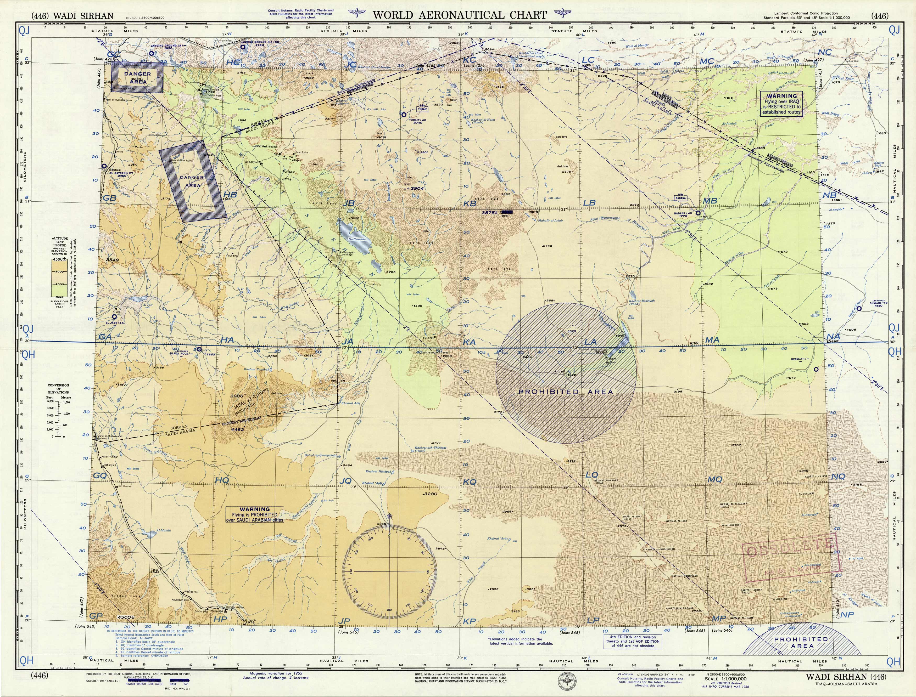
World Aeronautical Chart – Wadi Sirhan, Saudi Arabia
Out of stock
Prepared by the U.S. Coast and Geodetic Survey in Washington D.C, these World Aeronautical Charts show great topographical, relief, and hydrographic features as well as cultural features, such as roads, trails, mines, forts, bridges, telephone lines and much more. On the back of each map is a detailed legend that indicates the symbols and other pertinent information about the aeronautical symbols. A chart index also shows the relative charts from around the world as they are separated into quadrangles to easily locate other world charts in this series. This chart covers the northern portion of Saudi Arabia at the border of Jordan, printed in 1958 as the 4th edition from the 1947 edition.
Size: 28 x 22 inches
Condition: Very Good, stamp on map Obsolete
Map Maker: U.S. Coast and Geodetic Survey
Coloring: Printed Color
Year: 1958
Condition: Very Good, stamp on map Obsolete
Map Maker: U.S. Coast and Geodetic Survey
Coloring: Printed Color
Year: 1958
Out of stock


