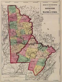
- You cannot add another "Counties of Wayne and Pike (Pennsylvania)" to your cart. View cart
 |
||
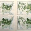
Yield of Wheat Per Square Mile, Per Acre, Per Capita, Per Improved Land
Out of stock
This map was made in Washington D.C. in 1898 by the Department of the Interior based on results of the eleventh census. Four maps illustrate the yield of wheat per acre, capita, improved land.
Size: 28 x 17.5 inches
Condition: Very Good
Map Maker: Department of the Interior
Coloring: Chromolithograph
Year: 1898
Condition: Very Good
Map Maker: Department of the Interior
Coloring: Chromolithograph
Year: 1898
Out of stock