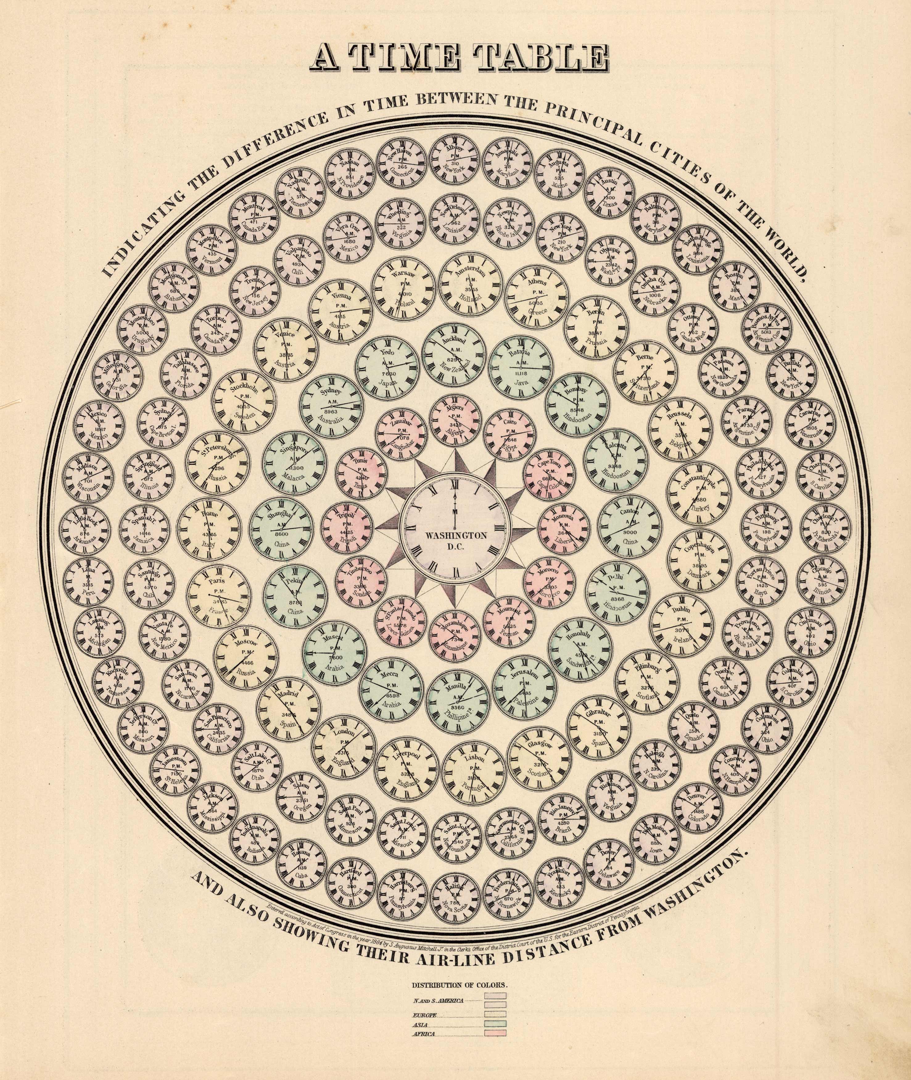
A Time Table- Indicating the Difference in Time Between the Principal Cities of the World and also Showing their Air-Line Distance from Washington
Out of stock
This map of a Time Table (showing the difference in time between the Principal Cities of the World and their Air-Line distance from Washington) was made by S. Augustus Mitchell for “Mitchells New General Atlas” published in 1888, by WM. M. Bradley & Co. The well maintained maps in this atlas feature Mitchell’s characteristic pastel coloring and abundant details.
Size: 11 x 13.25 inches
Condition: Very Good
Map Maker: Samuel Augustus Mitchell/Wm. M. Bradley & Bro.
Coloring: Original Hand Color
Year: 1888
Condition: Very Good
Map Maker: Samuel Augustus Mitchell/Wm. M. Bradley & Bro.
Coloring: Original Hand Color
Year: 1888
Out of stock


