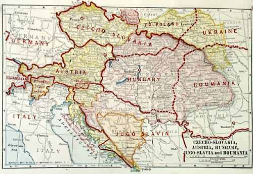
Czecho-Slovakia, Austria, Hungary, Jugo-Slavia, Roumania
Out of stock
This map comes from “A New Atlas of the World – A Graphic Story of the Great War 1914-1919.” Published in 1919, the atlas depicts the political border changes that occurred after world war 1. Unusual for their small size and the information depicted, these maps are sure to be bought out quickly by collectors!
Size: 7 x 5 inches
Condition: Excellent
Map Maker: Merton M. Wilner
Coloring: Machine Coloring
Year: 1919
Condition: Excellent
Map Maker: Merton M. Wilner
Coloring: Machine Coloring
Year: 1919
Out of stock


