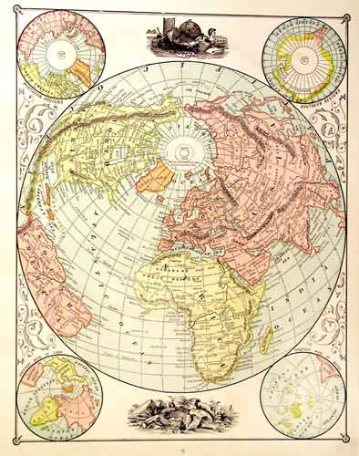
Globe Views
Out of stock
This detailed map came from the People’s Family Atlas of the World. Five perspectives of the world are illustrated on this page. The southern and northern regions, the greatest masses of water and land, and the world projected from the north pole are shown.
Size: 9.5 x 12 inches
Condition: Very Good
Map Maker: Peoples Publishing Co.'
Coloring: Printed Color
Year: 1885
Condition: Very Good
Map Maker: Peoples Publishing Co.'
Coloring: Printed Color
Year: 1885
Out of stock


