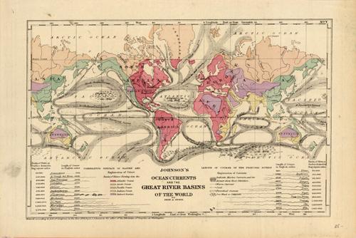
Johnsons Ocean Currents and the Great River Basins of the World’
In stock
These finely detailed state maps are from the 1896 Johnsons Universal Cyclopedia. Counties are distinguished by color, cities, towns, roads and railroads are depicted. They are hand colored, which is very unusual for the time in which they were made, making these maps quite a rare and special find. Their small size and unique features make them excellent for framing.
Size: 8.25 x 6 inches
Condition: Very Good
Map Maker: A.J. Johnson
Coloring: Original Hand Coloring
Year: 1896
Condition: Very Good
Map Maker: A.J. Johnson
Coloring: Original Hand Coloring
Year: 1896
In stock


