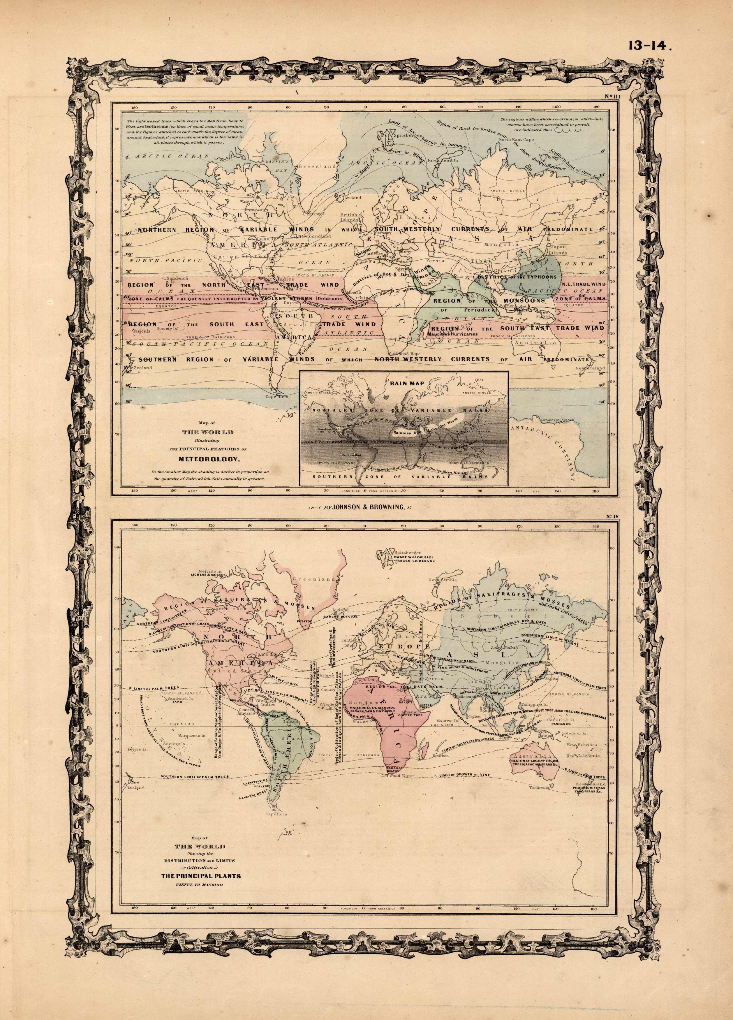
Map of the World Illustrating the Principal Features of Meteorology – Map of the World Showing the Distribution and Limits of Cultivation of the Principal Plants Useful to Mankind
In stock
This map is from Johnsons New Illustrated Family Atlas of the World printed in 1868 by A.J. Johnson. Johnson maps are characterized by hand coloring in red and green and distinctive borders, including iron scroll work and a Celtic design. The top map on this page shows wind patterns, areas subject to monsoons and typhoons and other storms. An inset is included of rain zones. The bottom map illustrates the areas used to cultivate various plants used by man, including the limits that they can be grown in. On both maps bright pastels are used.
Size: 10 x 15 inches
Condition: Very Good, light age toning and foxing
Map Maker: A.J. Johnson
Coloring: Original Hand Color
Year: 1868
Condition: Very Good, light age toning and foxing
Map Maker: A.J. Johnson
Coloring: Original Hand Color
Year: 1868
In stock


