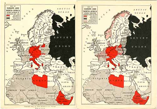
Rand McNally World Atlas containing War Maps of Europe Africa and Asia
Out of stock
This is actually a pamphlet published as a supplement to the Rand McNally World Atlas. There are 4 maps in total, the two shown above, one of Japan and East Asia and one of eastern North America showing U.S. military bases. First 3 show occupied territories. The rest of the pamphlet contains U.S. 1940 census data. Maps include: 1. Map of Europe and North Africa before September 1939 2. Map of Europe and North Africa showing territorial changes to Oct. 28 1940 3. Map of Eastern Asia showing area occupied by Japan 4. Map of newly acquired United States Defense bases in Western Hemisphere These are truly a fine collectable for any war buff!
Size: 6 x 9 inches
Condition: Very Good
Map Maker: Rand McNally
Coloring: Chromolithography
Year: circa 1942
Condition: Very Good
Map Maker: Rand McNally
Coloring: Chromolithography
Year: circa 1942
Out of stock


