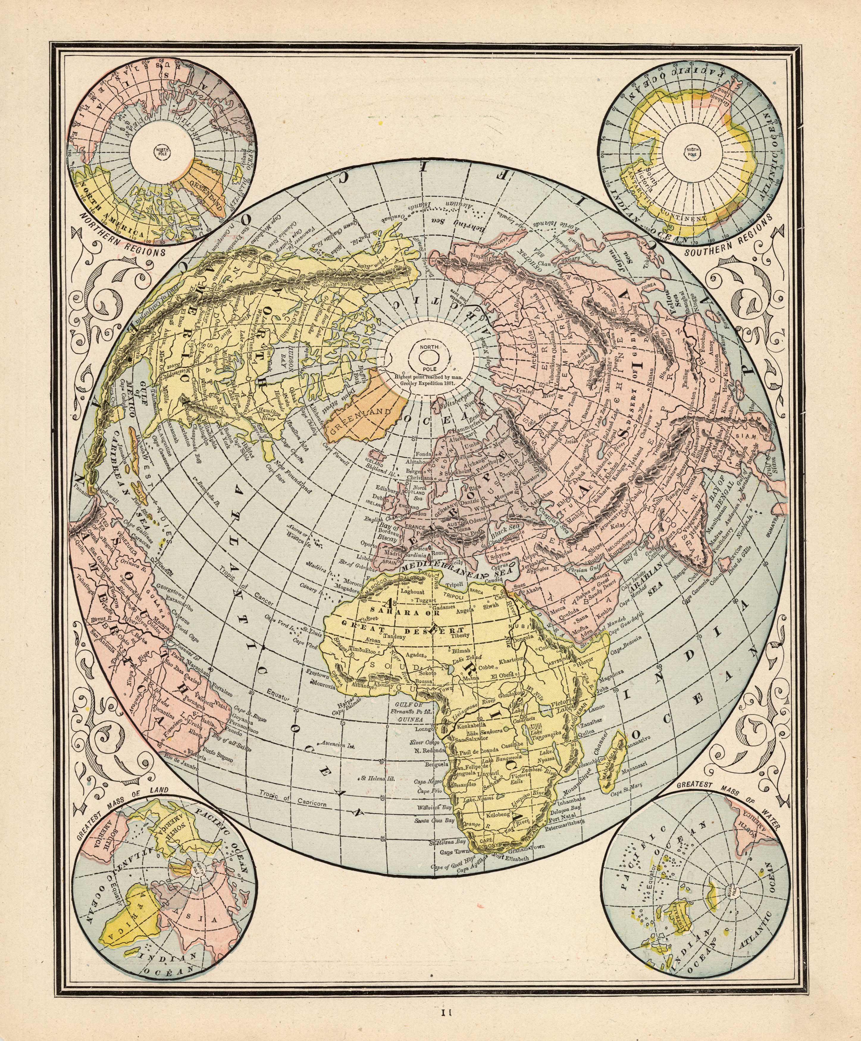
World Regions
In stock
This detailed map was produced by The Peoples Publishing Company for their “Illustrated Family Atlas,” published in 1887. This mapmaker was known for it’s high level of detail and fine color. This map shows the northern and southern regions of the world along with the greatest mass of water and the greatest mass of land.
Size: 9.5 x 11.5 inches
Condition: Very Good
Map Maker: Peoples Publishing Co.'
Coloring: Printed Color
Year: 1887
Condition: Very Good
Map Maker: Peoples Publishing Co.'
Coloring: Printed Color
Year: 1887
In stock


