- You cannot add "Hispania, Mauretania et Africa (Spain, Portugal, and Northern Africa)" to the cart because the product is out of stock.
- You cannot add "Hispania, Mauretania et Africa (Spain, Portugal, and Northern Africa)" to the cart because the product is out of stock.
") |
||
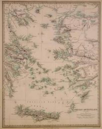
Imperia Persarum et Macedonum (Part of the Roman Empire from Greece to the eastern edge of India)
Out of stock
This is a beautiful map of “Imperia Persarum et Macedonum” published by Dr. Henry Kiepert for his “Atlas Antiquus” issued in 1886. The map has Latin text with original hand-coloring in outline.
Size: 17.5 x 13.5 inches
Condition: Excellent
Map Maker: Atlas Antiquus, Dr. Henery Kiepert
Coloring: Original Hand Color
Year: 1886
Condition: Excellent
Map Maker: Atlas Antiquus, Dr. Henery Kiepert
Coloring: Original Hand Color
Year: 1886
Out of stock